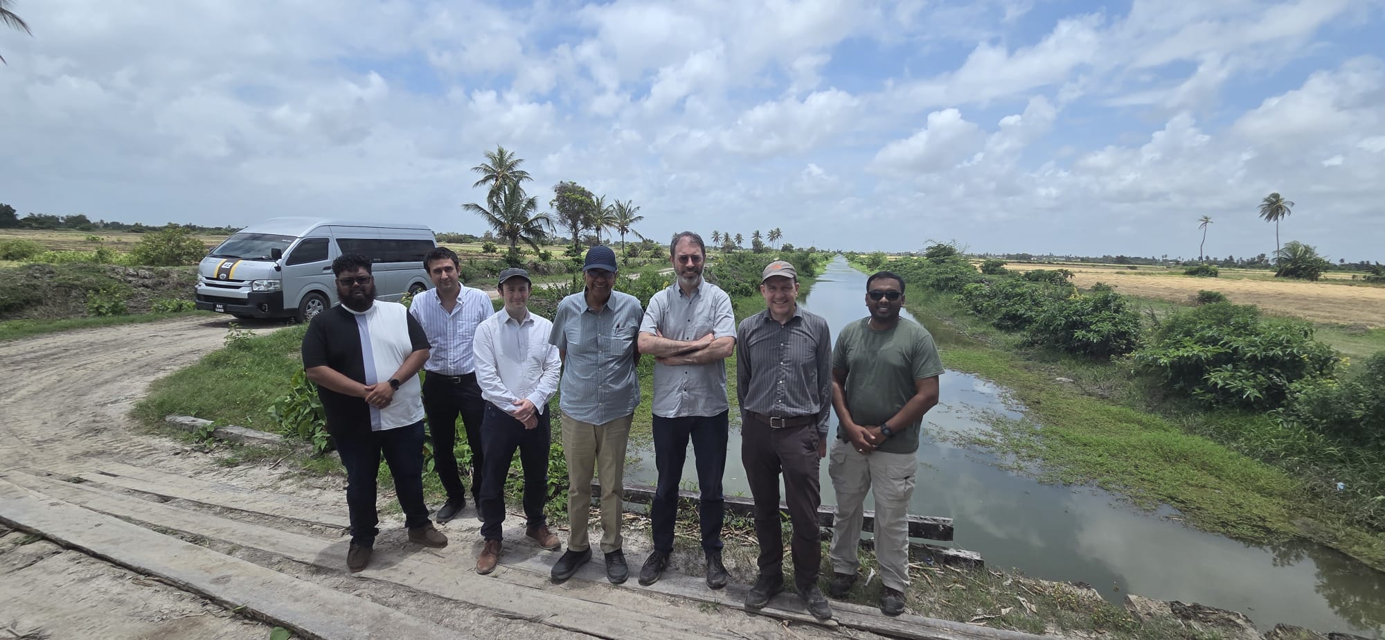
From Monday 13th to Wednesday 15th April, Research Assistant, Andrew Williams joined members of the project team on the Caribbean Flood Resilience Framework project in Guyana for a symposium at the University of Guyana, along with various field activities.
Project team members during the Guyana visit. Left to right: Mr. Andrew Williams, Dr. Masoud Zaerpour, Dr. Steven Wells, Prof. Chandra Madramootoo, Prof. Wouter Buytaert, Dr. Steven Cole, and Mr. Syed (Hydromet Representative).
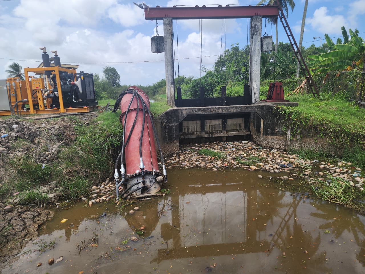
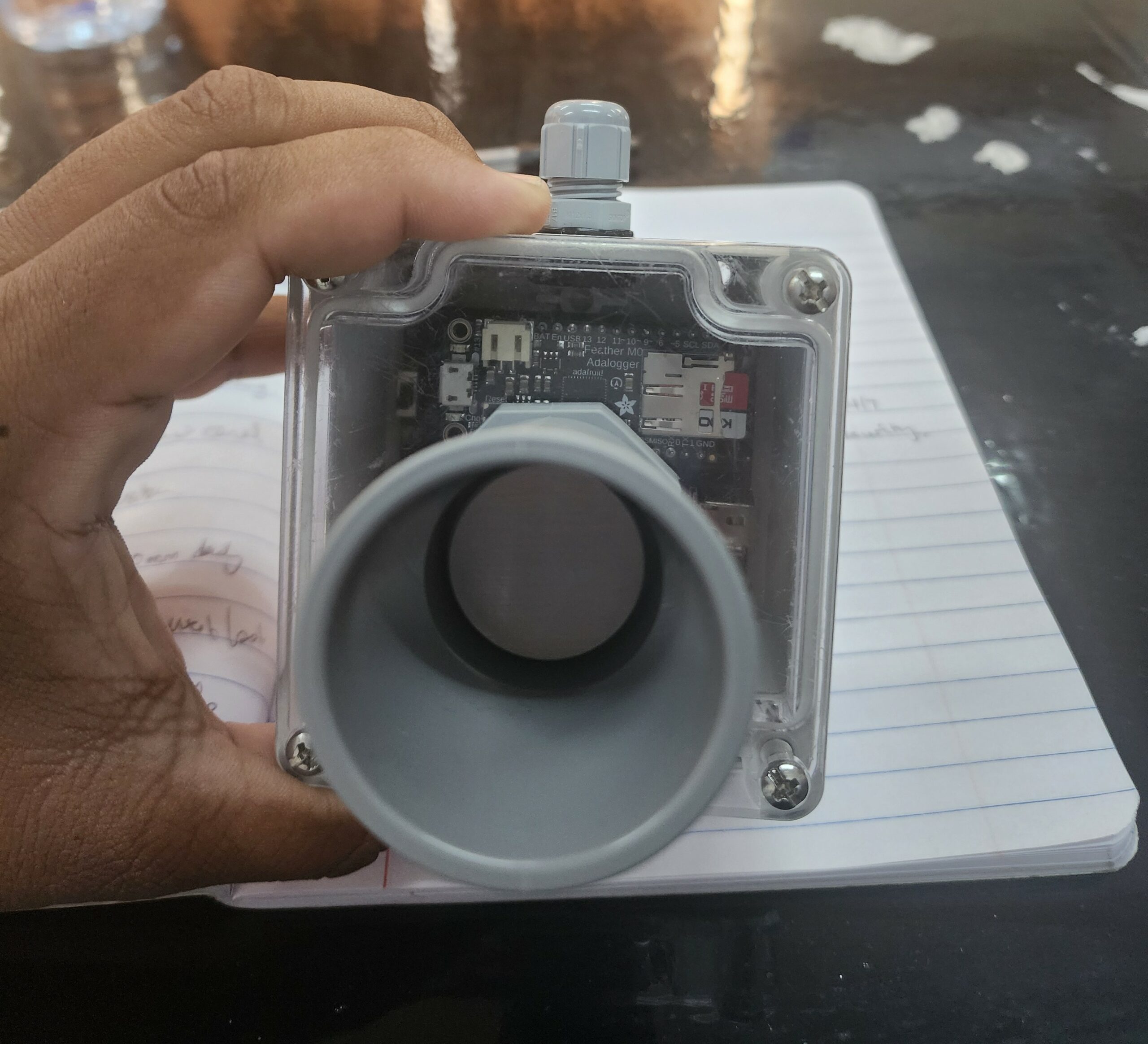
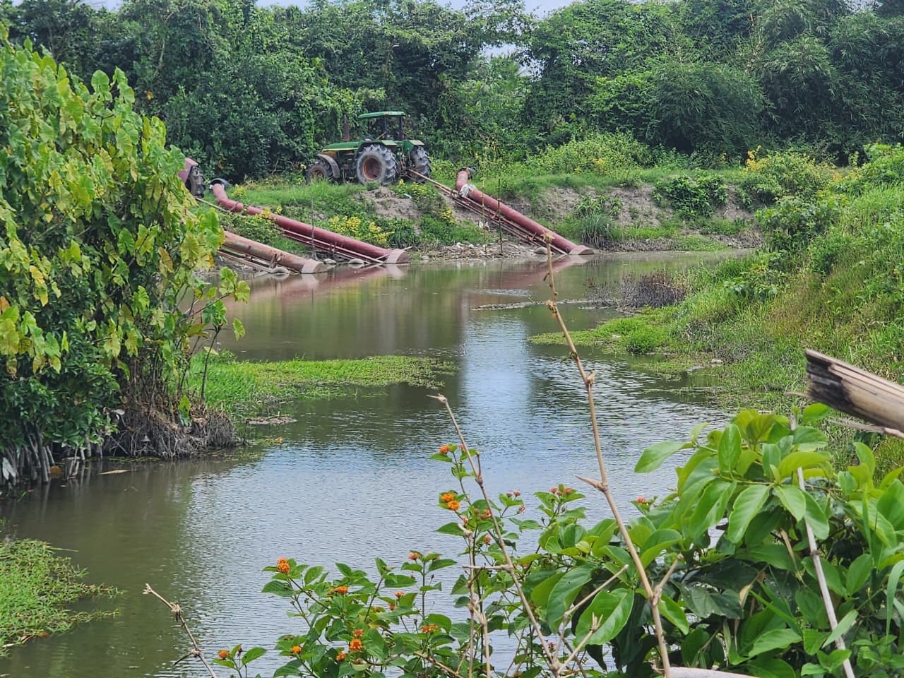
As part of the visit, the team met with the Caledonia and Cane Grove Neighborhood Democratic Councils (NDCs) to discuss at-risk villages within their region. The aim was to identify suitable locations for low-cost sensors to capture water levels and rainfall. This data will support the calibration of numerical models used to quantify flooding in Region 4 (Demerara-Mahaica), while also providing communities with information to better prepare for flood events. This includes supporting decisions such as the operation of sluice gates, activation of pumping stations, and the deployment of mobile pumps during critical situations. The images below show a low-cost sensor and a mobile pumping station used to pump water into the Mahaica River following a recent flooding event.
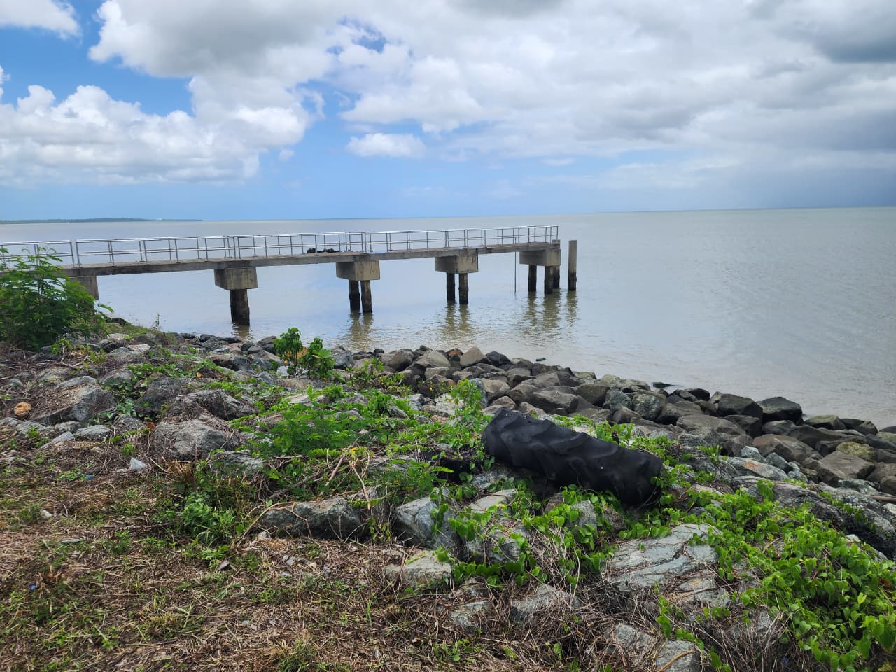
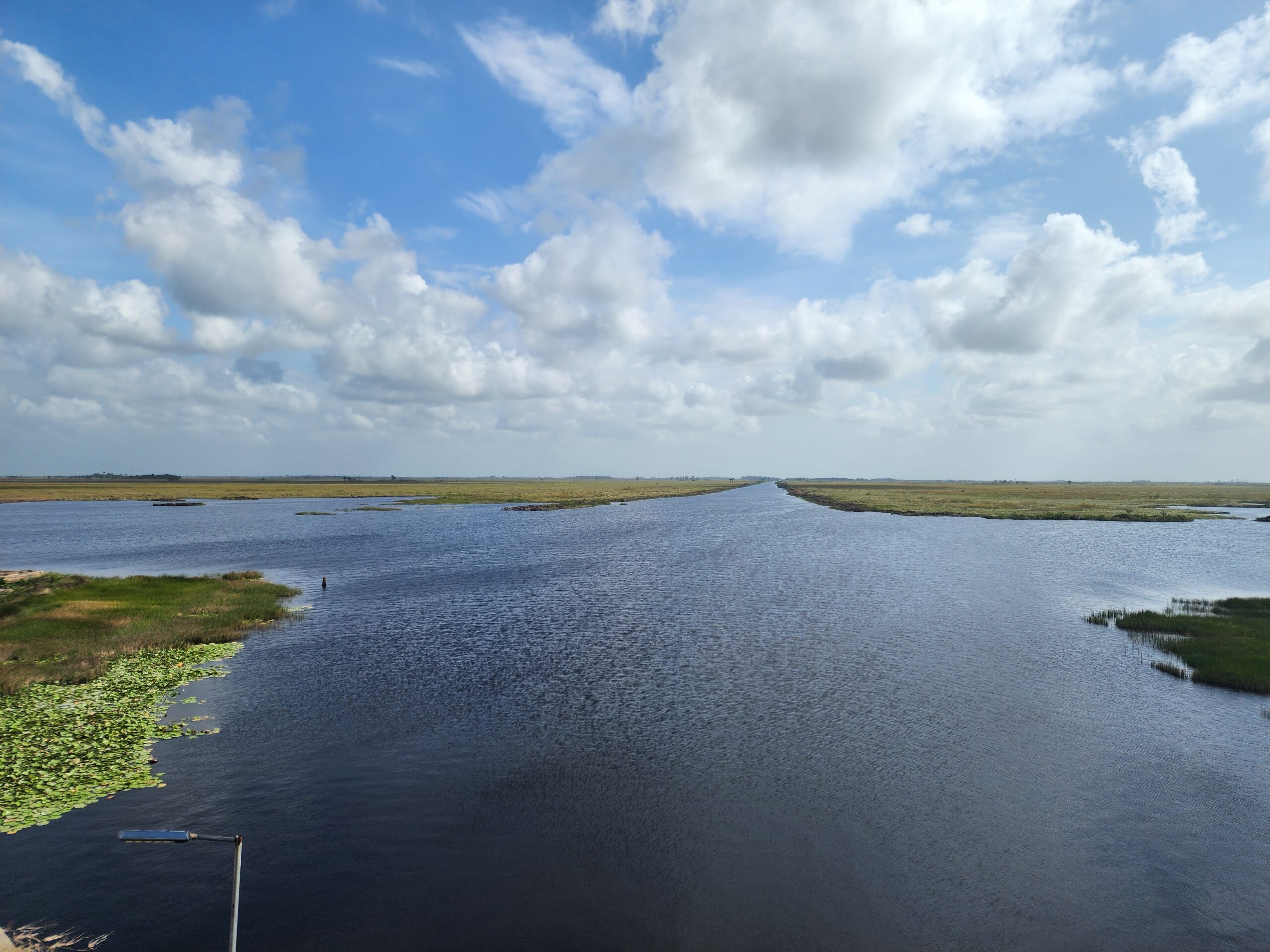
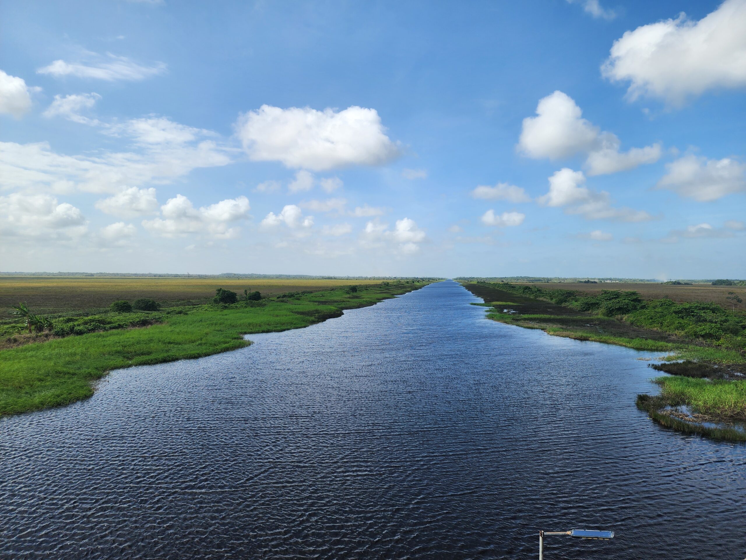
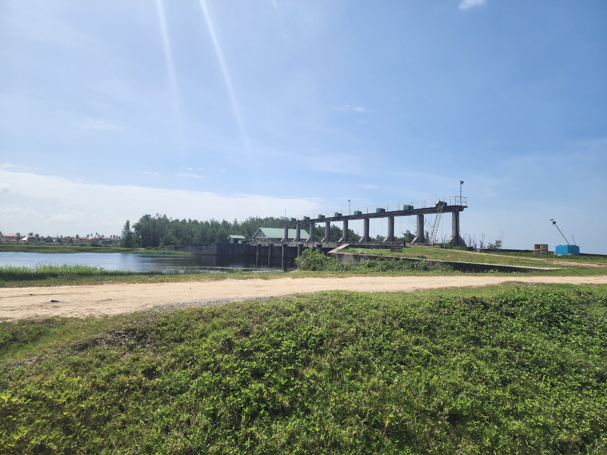
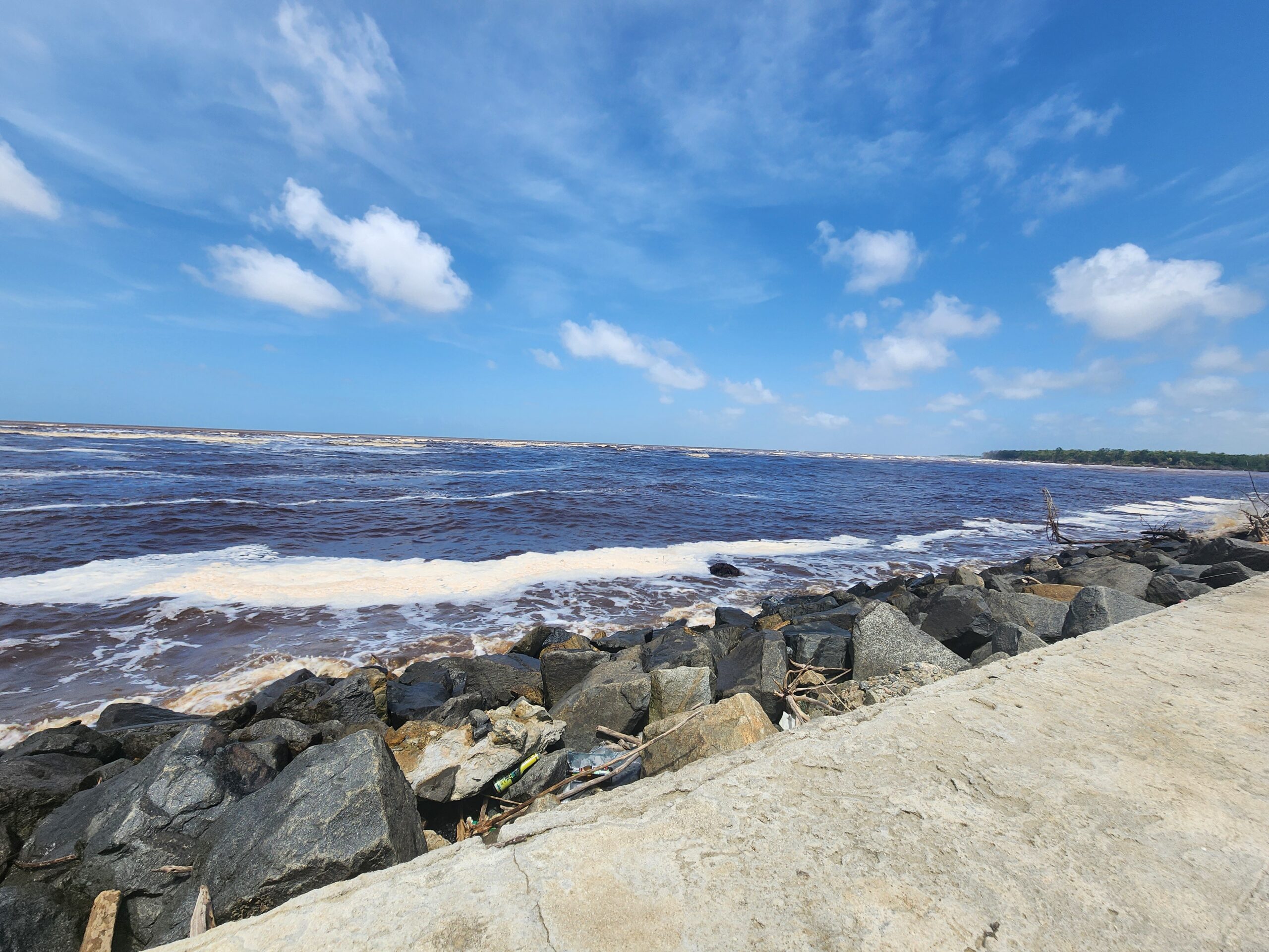
Site visits were also conducted across Region 4 to assess potential sensor locations, review existing monitoring equipment, and identify available data sources. These visits also provided an opportunity to gain a better understanding of flooding in the region, including how water moves through the canal systems and the overall drainage network. Locations visited included several pumping stations, the Hope Canal High Tide Sluice, Unity Beach near the mouth of the Mahaica River, and the East Demerara Water Conservancy.
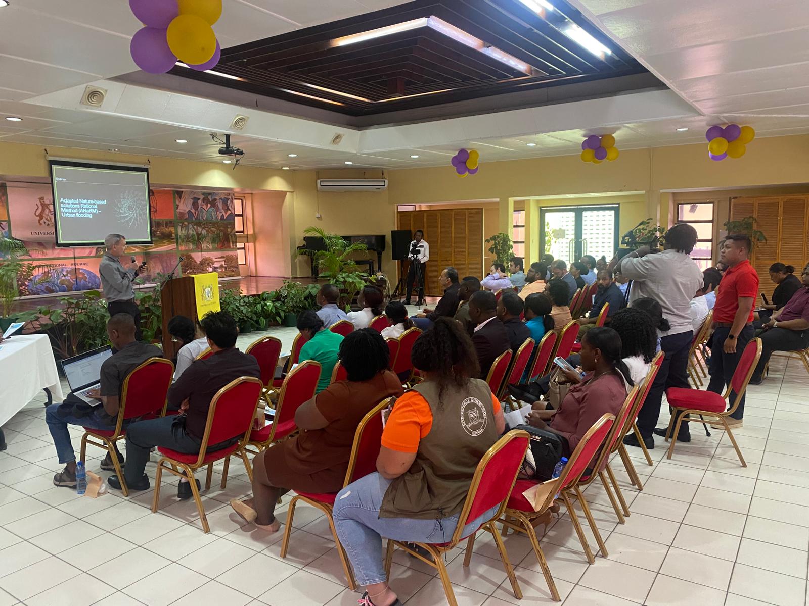
The symposium, hosted at the University of Guyana, featured presentations from researchers across the project. Topics included historical analyses of flooding events in Guyana, climate-adjusted IDF curves, compound hydrodynamic modelling, grid-to-grid hydrological modelling, community-based low-cost sensors, and stakeholder-driven flood vulnerability mapping.