Understanding Flooding in Trinidad
Flooding is one of the most pressing challenges facing the Caribbean, and in Trinidad and Tobago, it is becoming increasingly difficult to manage. A single event can disrupt entire communities and livelihoods, especially when multiple factors come together.
Flooding is rarely caused by just one factor. Heavy rainfall, rising river levels, and coastal influences such as tides can overlap, creating compounding effects that make flooding more severe and longer lasting. In Trinidad, these impacts are further intensified by low-lying terrain and drainage systems that are often poorly maintained and easily overwhelmed.
Focus Area: South Oropouche River Basin (SORB)
Located along the southwestern coast of Trinidad, the SORB is flat and low-lying, meaning water moves slowly through the system as it drains toward the Godineau Swamp and the Gulf of Paria. This causes water to build up easily, particularly during heavy rainfall.
As a result, flooding can spread across wide areas and persist for extended periods, especially when multiple drivers such as rainfall, high river flows, tides, and storm surge occur at the same time. The mangrove systems within the Godineau Swamp help to store and slow floodwaters, adding some natural buffering capacity, but they are affected by climate and human pressures.
What We’re Doing
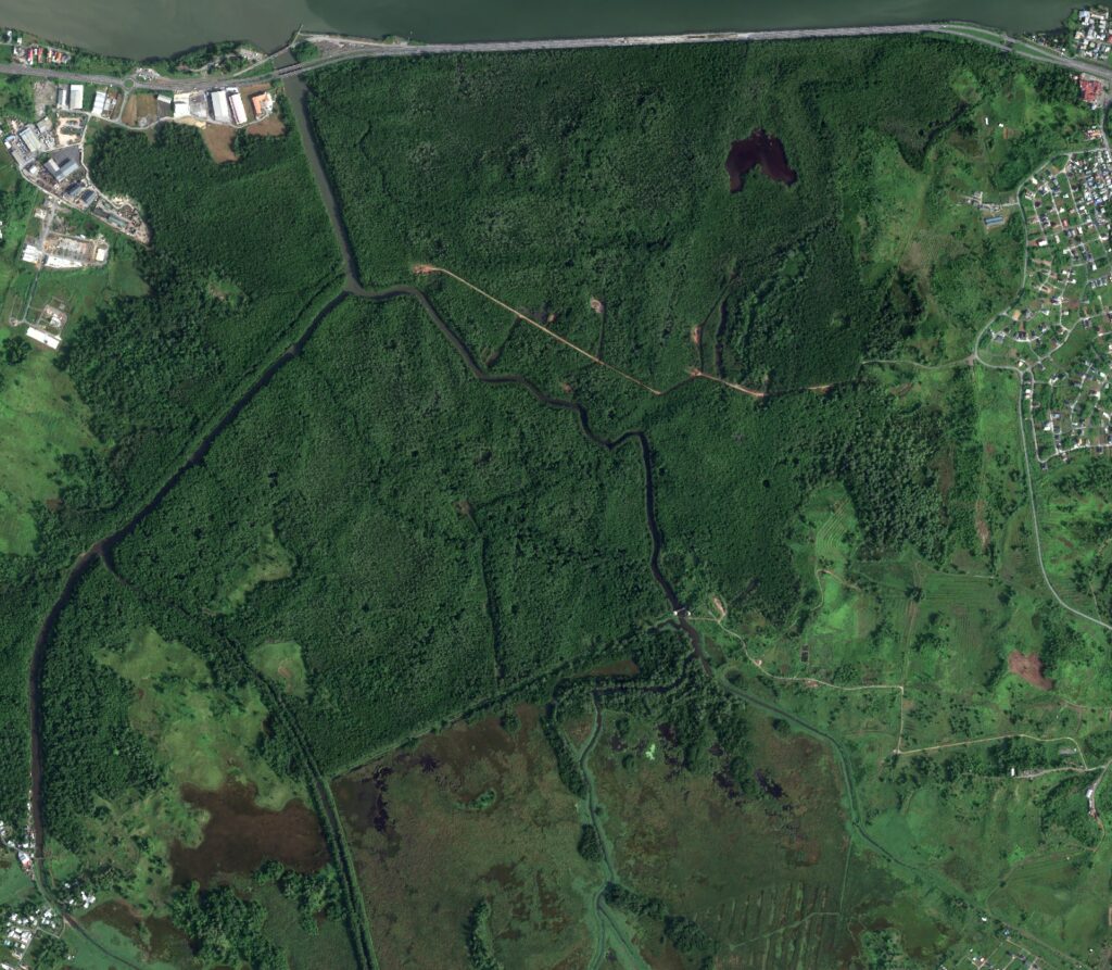
To better understand flooding in this region, the project focuses on collecting data, including rainfall, river discharge, water levels, flood extent, and mangrove characteristics. This helps identify the conditions under which flooding begins, so communities can be better informed when events are likely to occur.
At the same time, work is being done to better understand the role of mangrove ecosystems. By studying different species and their characteristics, the project aims to assess how effectively these natural systems can reduce flooding and support coastal protection. This information is then used to build numerical models that simulate flooding under different scenarios, helping to identify future risks and vulnerable areas. Together, this approach provides a more complete understanding of flooding in Trinidad.
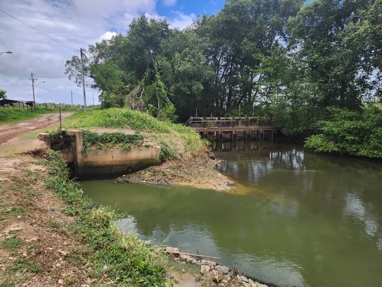
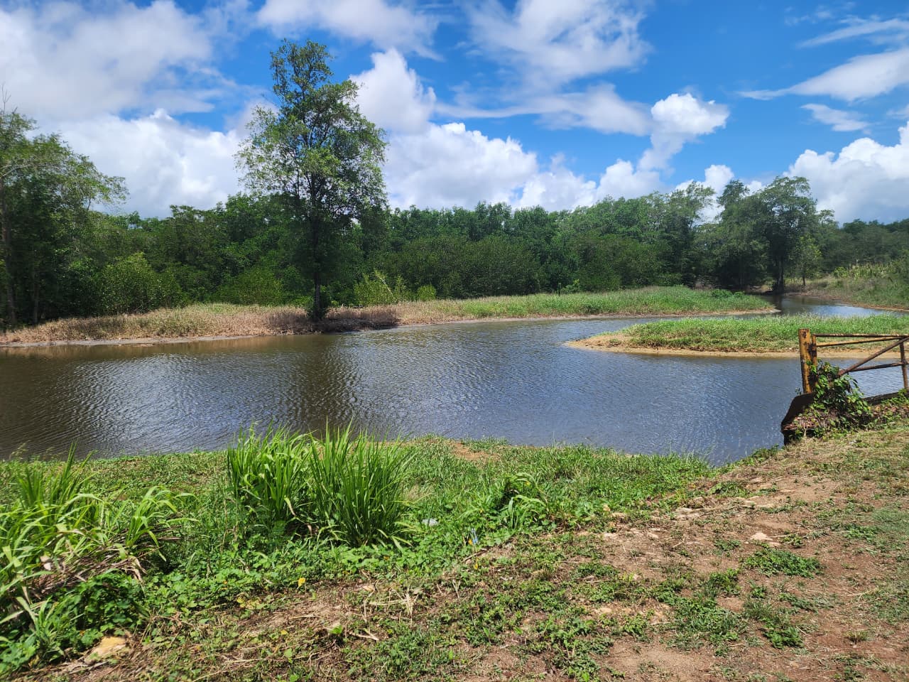
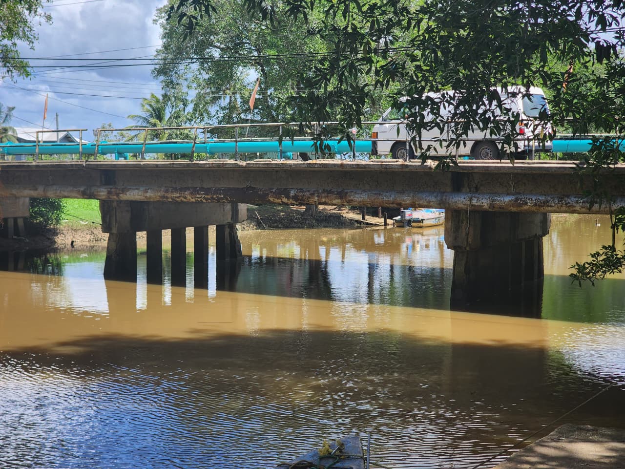
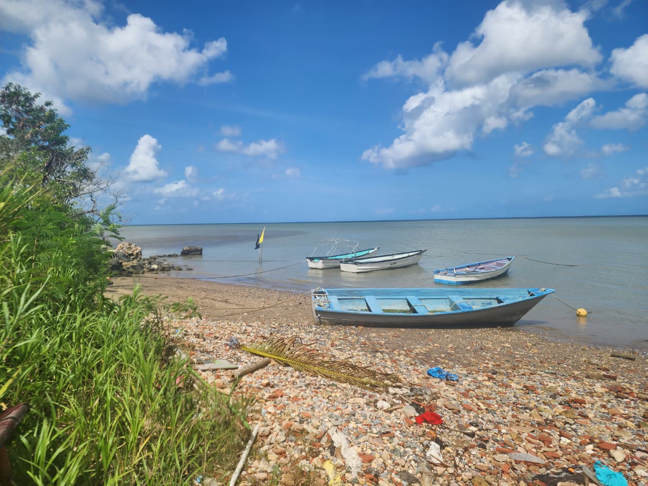
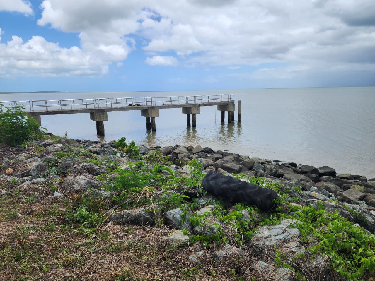
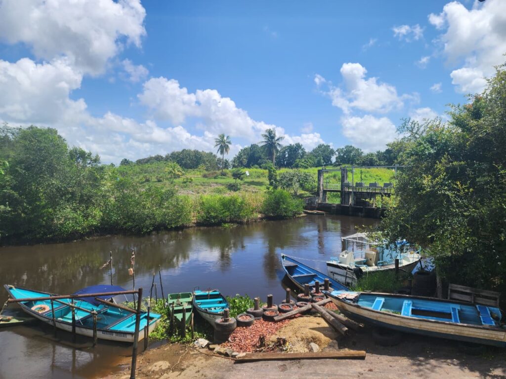
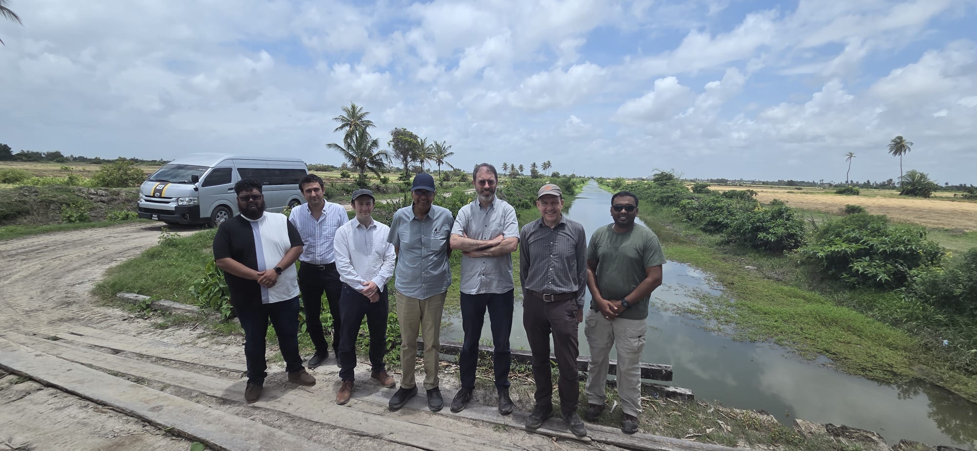
The images below highlight some of the key locations visited during site visits.
The Human Side of Flooding
It’s not just about science; it is about People.
A key part of the project focuses on community perspectives, including how residents understand flood risk, what they believe contributes to flooding, and how they view existing mitigation measures. These insights help bridge the gap between technical solutions and real-world experiences.
By combining field data, modelling, ecosystem research, and community engagement, the goal is to improve how flooding is understood and managed, inform more holistic solutions, and support more prepared communities.


